Organizers
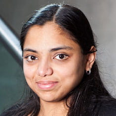
Lakshmi is the director of the Computing, Informatics and Applications Research Group, with expertise in applications of artificial intelligence in the domains of climate change, net zero, air quality, vegetation/terrain identification, audio, speech, NLP, IoT and healthcare. She has numerous publications and prestigious awards to her credit including Google's Anita Borg award, and funding from several EU (FP7, Eureka and Hasler Innovation start-up) funds. She is currently leading multiple climate action projects with Local Authorities in the UK.
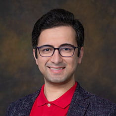
Mahdi is a Senior Lecturer in our School of Computing and Information Science. He leads the MSc Applied Data Science conversion course and teaches modules on Artificial Intelligence, Artificial Neural Networks, and Python programming. Additionally, he takes on the role of school outreach lead, overseeing the school's engagement with partner colleges. In terms of research, Mahdi's interests revolve around the application of Artificial Intelligence in sustainability and healthcare research, remote sensing, aerial image analysis, and computer vision applications.
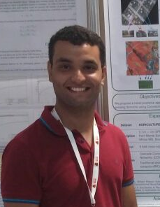
Keiller Nogueira is currently an Early Career Assistant Professor (Lecturer) in Data Science at the University of Liverpool. His pioneering work in introducing deep learning into remote sensing domain has generated several highly cited impactful papers. Additionally, Keiller has served as a Guest Editor at IEEE Geoscience and Remote Sensing Letters journal and as reviewer for several top-tier journals and conferences, including Transactions on Pattern Analysis and Machine Intelligence, Pattern Recognition, Transactions on Image Processing, Transactions on Geoscience and Remote Sensing, International Conference on Image Processing, and so on. He has experience in organizing events, having been one of the main organizers of this workshop since its conception.
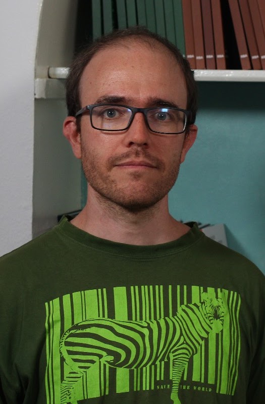
Diego Marcos is a tenure-track, junior professor at Inria Université Côte d'Azur in France, specializing in developing machine learning and computer vision methods to solve environmental and Earth observation problems. His research interests include creating more interpretable computer vision methods for species identification and building species distribution models using citizen science and Earth observation data. He holds a PhD from Wageningen University and an MSc in Computation Sciences and Engineering from EPFL in Switzerland.
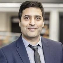
Dr. Vahid Akbari is a Lecturer (Assistant Professor) in Artificial Intelligence/Data Science at the University of Stirling, where he leads the Earth Observation (EO) Data Science Lab, serves on the Council of the Remote Sensing and Photogrammetry Society (RSPSoc), and is also an Adjunct Assistant Professor at University College Dublin (UCD). His work focuses on the intersection of machine learning and Earth Observation, with expertise in radar remote sensing, including advanced InSAR and PolSAR methods for environmental applications such as land subsidence, forestry, glaciology, agriculture, and change detection. He previously held postdoctoral positions at UiT-The Arctic University of Norway, the Norwegian Institute of Bioeconomy Research, and the University of Stirling. He earned his PhD in Physics (Radar Remote Sensing) from UiT in 2013, and his research interests span AI4EO, big EO data analytics, and multidimensional SAR signal and image processing.
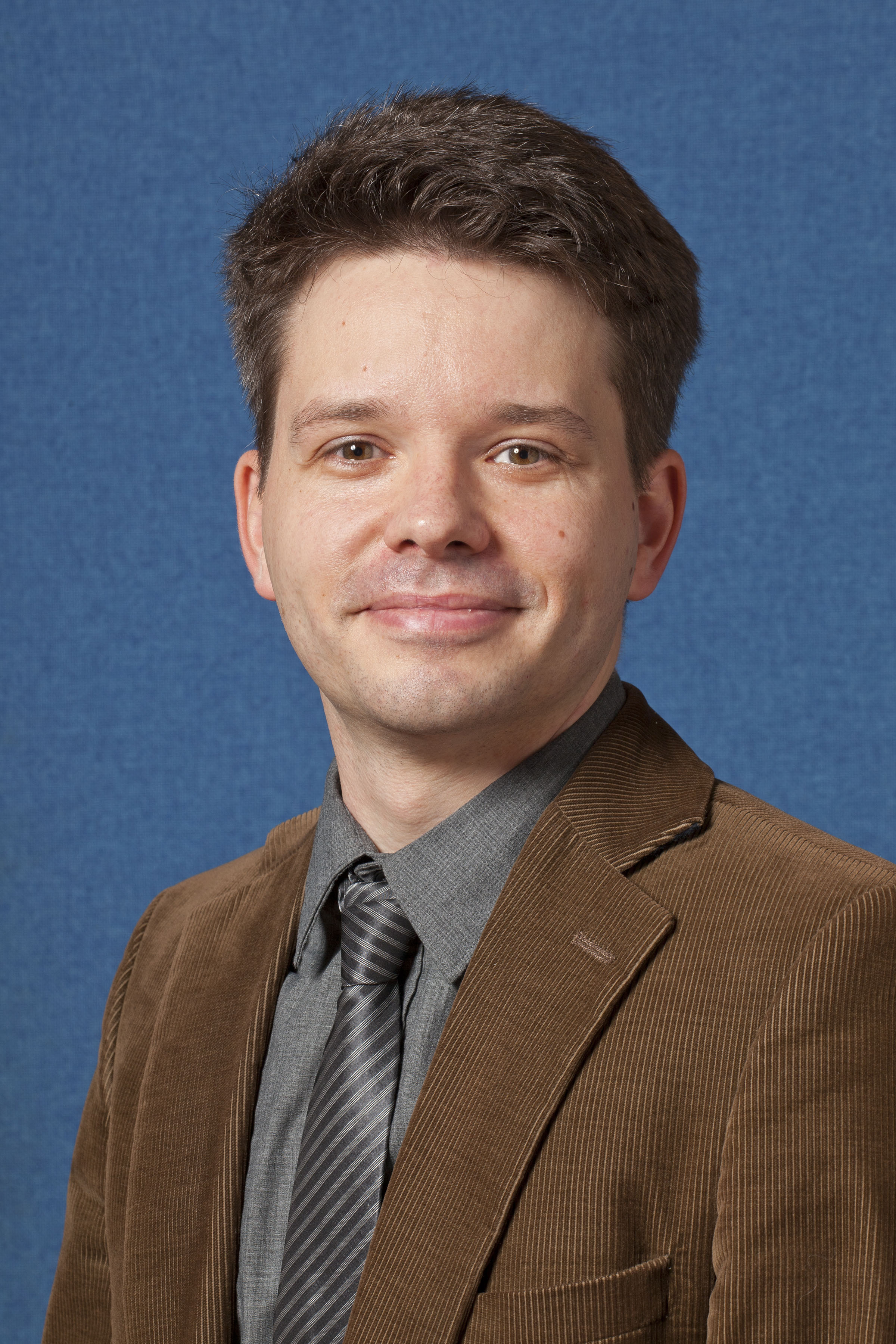
Jan Boehm is an Associate Professor in UCL’s Department of Civil, Environmental and Geomatic Engineering. He is the Head of the Geomatics Section with 12 academic staff. He continuously served as a working group (WG) officer in the International Society of Photogrammetry and Remote Sensing (ISPRS) since 2004 and was chairman twice. He is currently co-chair of the point cloud generation and processing WG. He has helped organize more than 20 conferences and was twice conference chair of the ISPRS Laser Scanning Workshop (2019, 2023). He is also a WG co-chair for point clouds in the Open Geospatial Consortium (OGC).
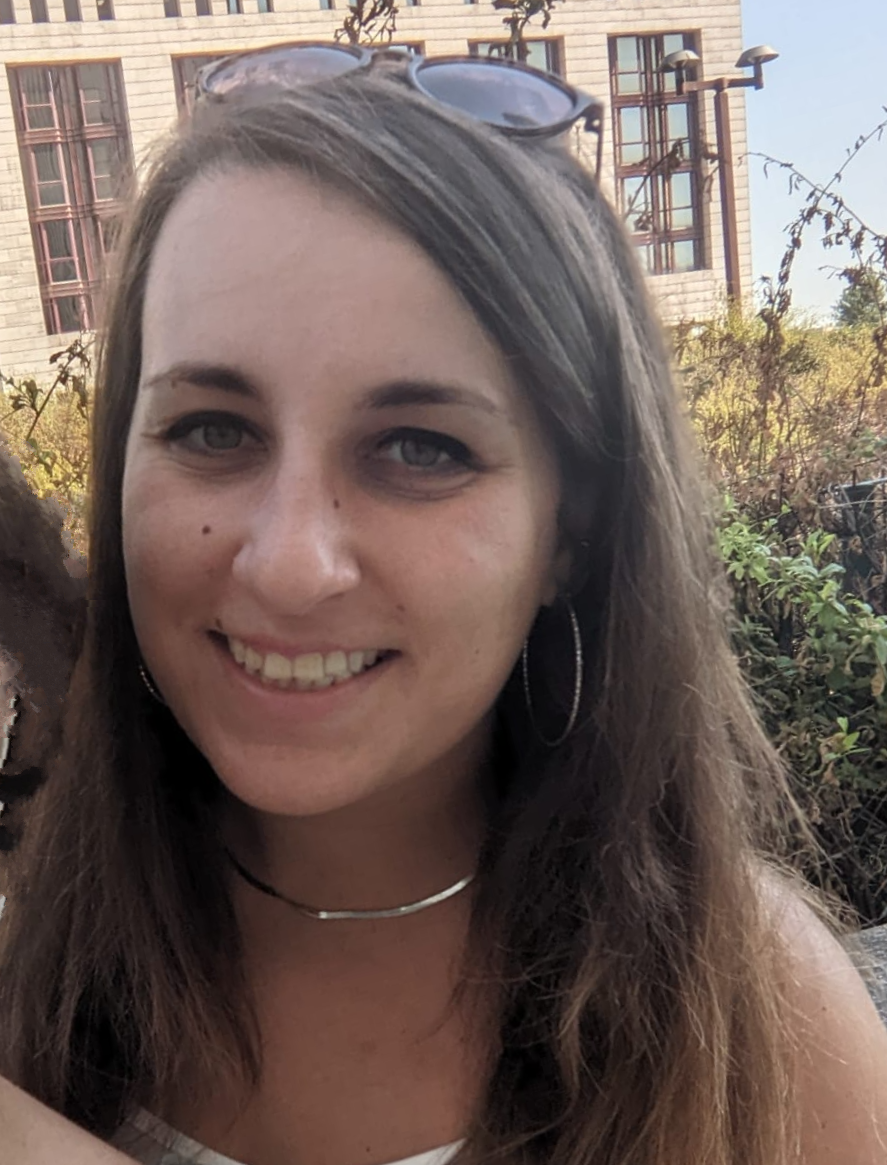
Fabiana Di Ciaccio is an assistant professor (RTDa) at the Department of Civil and Environmental Engineering of the University of Florence and member of the Geomatics for Environment and COnservation of Cultural heritage (GECO) Laboratory. She holds a PhD from Parthenope University of Naples in Environment, Resources and Sustainable Development - UNESCO Chair. Her research interests include attitude estimation methods based on visual-inertial, Computer Vision and Deep Learning techniques, as well as cultural heritage preservation, climate change impact assessment, environmental monitoring, metrology, underwater photogrammetry and 3D reconstruction techniques. She is part of the ISPRS WG II/7 for Underwater Data Acquisition and Processing. She is one of the organizers of the 1st International Workshop on Computer Vision for Environment Monitoring and Preservation (ICIAP 2023) and of the 1st Workshop on Machine Vision for Earth Observation and Environment Monitoring (BMVC 2023).
Dr. Ronny Hänsch is a scientist at the Microwave and Radar Institute of the German Aerospace Center (DLR) where he leads the Machine Learning Team in the Signal Processing Group of the SAR Technology Department. His research interest is computer vision and machine learning with a focus on remote sensing (in particular SAR processing and analysis). He served as chair of the GRSS Image Analysis and Data Fusion (IADF) technical committee 2021-23 and as editor of the GRSS eNewsletter. He is current co-chair of the ISPRS working group on Image Orientation and Sensor Fusion, Editor in Chief of the Geoscience and Remote Sensing Letters, Associate Editor the ISPRS Journal of Photogrammetry and Remote Sensing, organizer of the CVPR Workshop EarthVision (2017-2024) and the IGARSS Tutorial on Machine Learning in Remote Sensing (2017-2024). He has extensive experience in organizing remote sensing community competitions, serves as the GRSS representative within SpaceNet, and was the technical lead of the SpaceNet 8 Challenge.
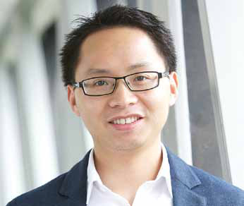
Chunbo Luo is an Associate Professor in Computer Science at the University of Exeter and the lead of Remote Sensing theme in the Institute of Data Science and Artificial Intelligence at Exeter. He recently organised, together with other collaborators, the annual workshop called Machine Learning for Earth Observation with the Environment Intelligence Network. This two-day workshop, focused on bringing together remote sensing researchers, data science experts, and industry partners in the UK and beyond to explore how machine learning can help get the most out of Remote Sensing observations, had 4 sessions, several invited talks, poster sessions, panel discussions, among other activities. He has organised 5 international conferences as the program or general chair, received two outstanding leadership awards on these activities, and has been an Associate Editor for two journals: IEEE Journal of Selected Topics in Applied Earth Observations and Remote Sensing, and Frontiers in Marine Science.
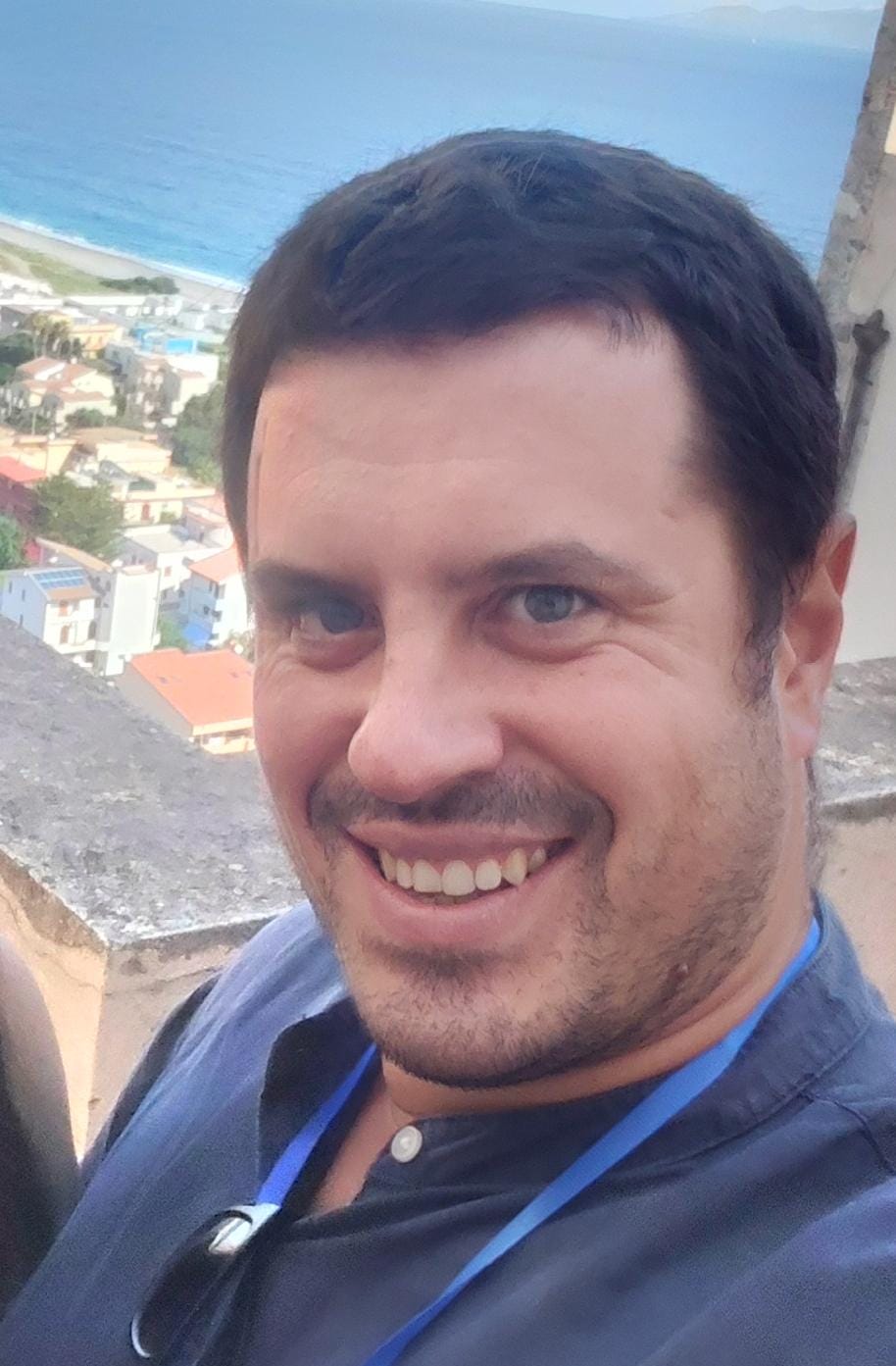
Paolo Russo is an assistant professor (RTDa) at the Sapienza University of Rome. His researches focus on Deep Learning techniques applied to several Computer Vision tasks, such as realistic image generation, domain adaptation, and depth estimation. He is also interested in applying tailored Computer Vision techniques to other fields of research, such as robot orientation estimation, neoplasms classification, and anomaly detection on structures. He contributes as a Guest Editor for MDPI Sensors journal on the pose estimation and action recognition topic. Finally, he worked as a special session chair on the applications of deep learning and artificial intelligence techniques for environmental protection at the 2022 International Workshop on Metrology for the Sea.
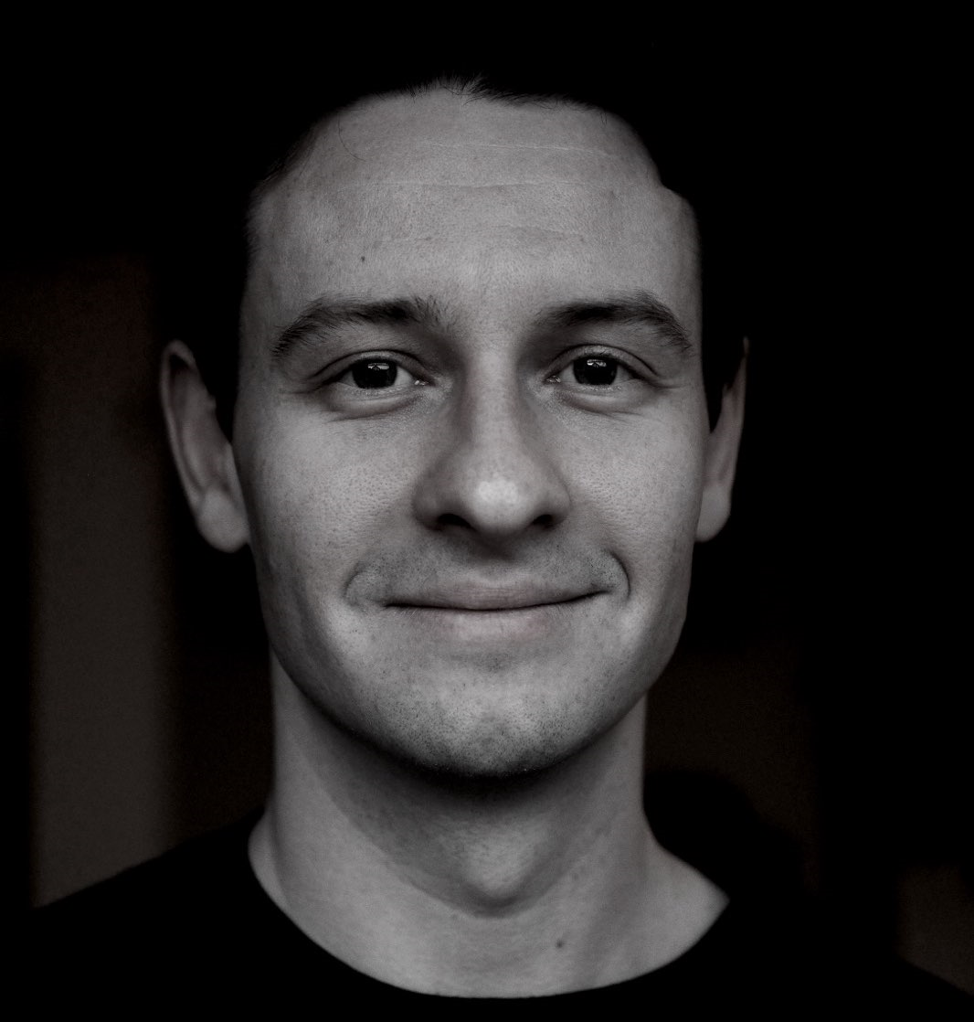
Konstantin Klemmer is an AI researcher at LGND AI and incoming Assistant Professor at UCL, starting in Fall 2026. His research focuses on the representation of geospatial phenomena in machine learning methods and, more broadly, on statistical machine learning and self-supervised representation learning. Beyond that, he is interested in the application of these methods in urban environments and to tackle climate change. Before his current role, he was as a postdoctoral researcher and research scientist at Microsoft Research. He completed my PhD at the University of Warwick and New York University. He was also an Enrichment student at the Alan Turing Institute and a Beyond Fellow at TUM / DLR.
Manu Sasidharan is an Assistant Professor in Infrastructure Asset Management in the Department of Civil, Environmental and Geomatic Engineering at UCL, where he leads the Infrastructure Resilience and Asset Management Research Group. His research focuses on advancing whole-life, whole-system, and digitally enabled approaches to the resilience, adaptation, and management of infrastructure under uncertain future conditions. Working at the interface of infrastructure engineering, risk, and digital innovation, he develops data-driven models and decision-support tools to support more resilient, adaptive, and effective infrastructure systems in the face of climate, environmental, socio-economic, and technological change.
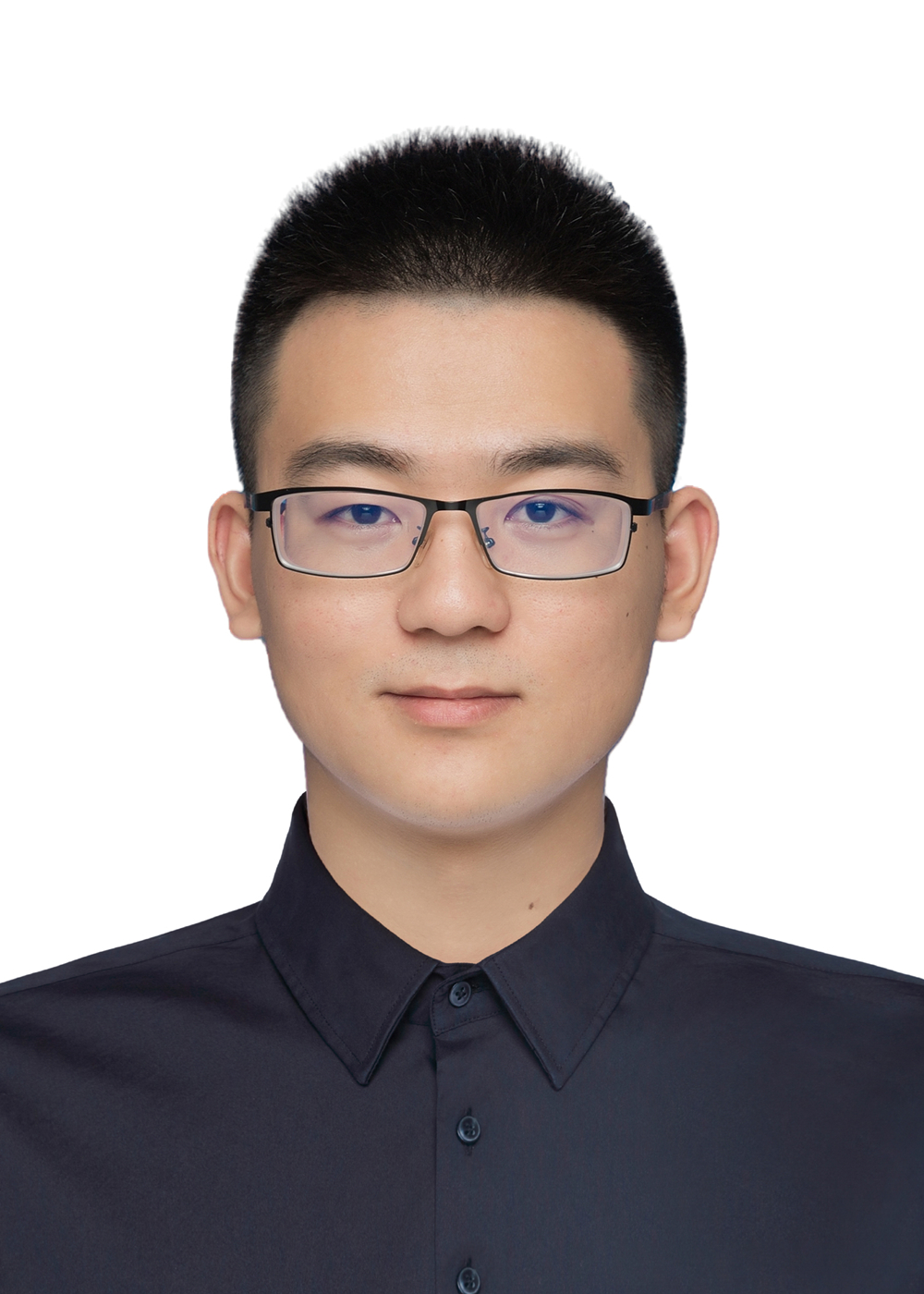
MWanli Ma is a Research Fellow at the University of Cambridge. His research lies at the intersection of artificial intelligence (AI) and satellite remote sensing for Earth observation. He specialises in advanced computer vision, with a particular focus on minimally supervised approaches that reduce the labelling burden associated with training machine-learning models. His current work explores AI-enabled, large-scale damage assessment for disasters such as explosions, floods, and fires. Before joining Cambridge, Wanli completed his PhD in Computer Science within the Visual Computing Group at Cardiff University in 2024. His doctoral thesis, "Towards Minimal Supervision for Semantic Segmentation of Remote Sensing Imagery", investigated methods for reducing supervision requirements in remote-sensing image segmentation. He previously earned a master’s degree with distinction in Image and Video Communication and Signal Processing from the University of Bristol in 2021. His master’s dissertation focused on ship-wake detection in synthetic aperture radar (SAR) imagery using the Dual-Tree Complex Wavelet Transform (DT-CWT).
Technical Committee
TBA